Architecture Computational Technologies
Explore design research at the frontiers of architecture through experimentation in computational design, robotic systems applied to fabrication and interactivity, and materiality. For more information please contact ms.act@nyit.edu
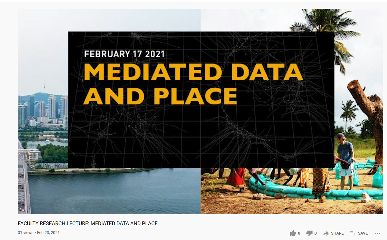
FACULTY RESEARCH LECTURE: MEDIATED DATA AND PLACE
Introduction and Moderation: Michelle Cianfaglione, Adjunct Assistant Professor, NYIT
Lecture: “Mediated Data” by John Doria, Adjunct Professor, NYIT
Lecture: “New Public Place | The Story of Two Islands”, Donghwan Moon,
Partner at MMK+ / Adjunct Faculty at NYIT
John Doria Bio
John A. Doria is an architectural designer and construction supervisor
with experience providing oversight for residential, institutional and
transportation projects. He is also an Adjunct Instructor at NYIT’s
School of Architecture & Design. John received his Master of Science
in construction management from Stevens Institute of Technology and his
Bachelor of Architecture from Pratt Institute. At Stevens, he was a
recipient of the 2018 Construction Management Award. At Pratt, John
worked on an interdisciplinary studio project with NASA to design a
Transit Habitat to transport five astronauts to Mars. He is skilled in
making sure that projects meet both the client’s objectives, schedule
and budget while utilizing the advantages of visualization and BIM.
Lecture Description: Mediated Data
“It’s what we do as architects as we are living the catastrophe
and not awaiting the catastrophe”
Correlated is defined as, “either of two things so related that one
directly implies or is complementary to the other”. Crisis is defined
as, “a time of intense difficulty, trouble, or danger”. Architects
operating in a world of correlational crises could make structural
transformations to our built environment by mediating data from
technological instruments. As mediators, architects can coordinate data
before scientists and technologist begin using it. Avant-garde data
typically seeks information from sensors, satellite imagery, drones,
social media images, machine learning or Google Street Views. Examples
could be, virus cluster zones, air and water quality, tree canopy cover,
etc. Whether it be a pandemic, air pollution, water shortages or
deforestation our Anthropocene era seems it cannot occur without one
crisis relating to another. Mediating data could mean producing a
coordinated visualization language and material/spatial prototypes as a
transformative force. Today, we are seeing this take shape as
performative installations, scientific instruments and visual data
depictions.
Donghwan Moon Bio
Donghwan Moon is an architect and a partner of MMK+, an award-winning
architecture and urban design firm based in Seoul and New York. Before
MMK+, Moon had worked on residential, commercial and master plan
projects with renowned design offices including Foster and Partners,
Kohn Pedersen Fox. He has also been actively involved in public interest
design in Kenya, working as a director of architecture at Mtree,
non-profit design organization. He holds a Bachelor of Architecture from
Syracuse University and a Master of Architecture in Urban Design from
Harvard University Graduate School of Design (GSD)
Lecture Description: New Public Place | The Story of Two Islands
What is the new role of a public space? How do you create a public place
that is inclusive, environmental and sustainable? What are the
strategies and how do you apply them into different contexts and time
(Crises)? Moon responds to these questions by sharing two of his
projects; Nodeul Island (Seoul, Korea) and Maya Community Project
(Kilifi, Kenya).
Nodeul Island (Architizer A+ Award, Public Architecture Award of Korea,
Seoul Architecture Award)
Abandoned and forgotten for decades, Nodeul Island is an artificial
island situated on Seoul’s Han River. It was first constructed to
support the Han River pedestrian bridge but degraded over the years to
its isolated form. Despite its natural beauty and proximity to the city
center, the remote character of the island—along with it being hard for
visitors to reach its ground—made it difficult for it to thrive. The
project reconfigures the island’s ground form into multi-levels of
public space, with various cultural programs embracing the island’s
history. It is an inviting public getaway, where citizens and visitors
can interact with diverse activities and feel harmonized with the
surrounding city and its natural landscape.
Maya Community Project (Social Economic Environmental Design Award)
Maya Community land is located east of the coastal district, Kilifi in
Kenya. With only 500 people residing within the beautiful landscape, it
has maintained its purity: untouched with plenty of natural resources.
However, due to its remote geographic location and harsh economic
status, the community has become neglected by local government. The team
started an initiative to protect and develop Maya Community’s land. The
objective was to train the community on how to construct buildings
utilizing their extensive natural resources. This strategy both
preserves the ownership of the land and strengthens their local
identity.
More Posts
All PostsMay 31, 2022
MS_ACT INNOVATION KEYNOTE LECTURE Kaicong Wu
May 26, 2022
MS ACT Lecture Shai Yeshayahu
May 16, 2022